
SINGULARXYZ OFFICIAL PARTNER · GNSS, RTK, SLAM LIDAR & GEOSPATIAL
Survey & Geospatial Solutions
High-precision SingularXYZ GNSS RTK rovers, base stations, handheld 3D SLAM laser scanners, optical total stations, and field surveying software for construction, mining, and civil engineering across Africa.
CLE × SINGULARXYZ BROCHURES
GNSS Rovers, Base Stations & 3D Laser Scanners

Z1 GNSS Rover
Palm-sized RTK GNSS receiver supporting full satellite constellations (GPS, GLONASS, Galileo, BeiDou, QZSS, SBAS) with IMU tilt compensation.
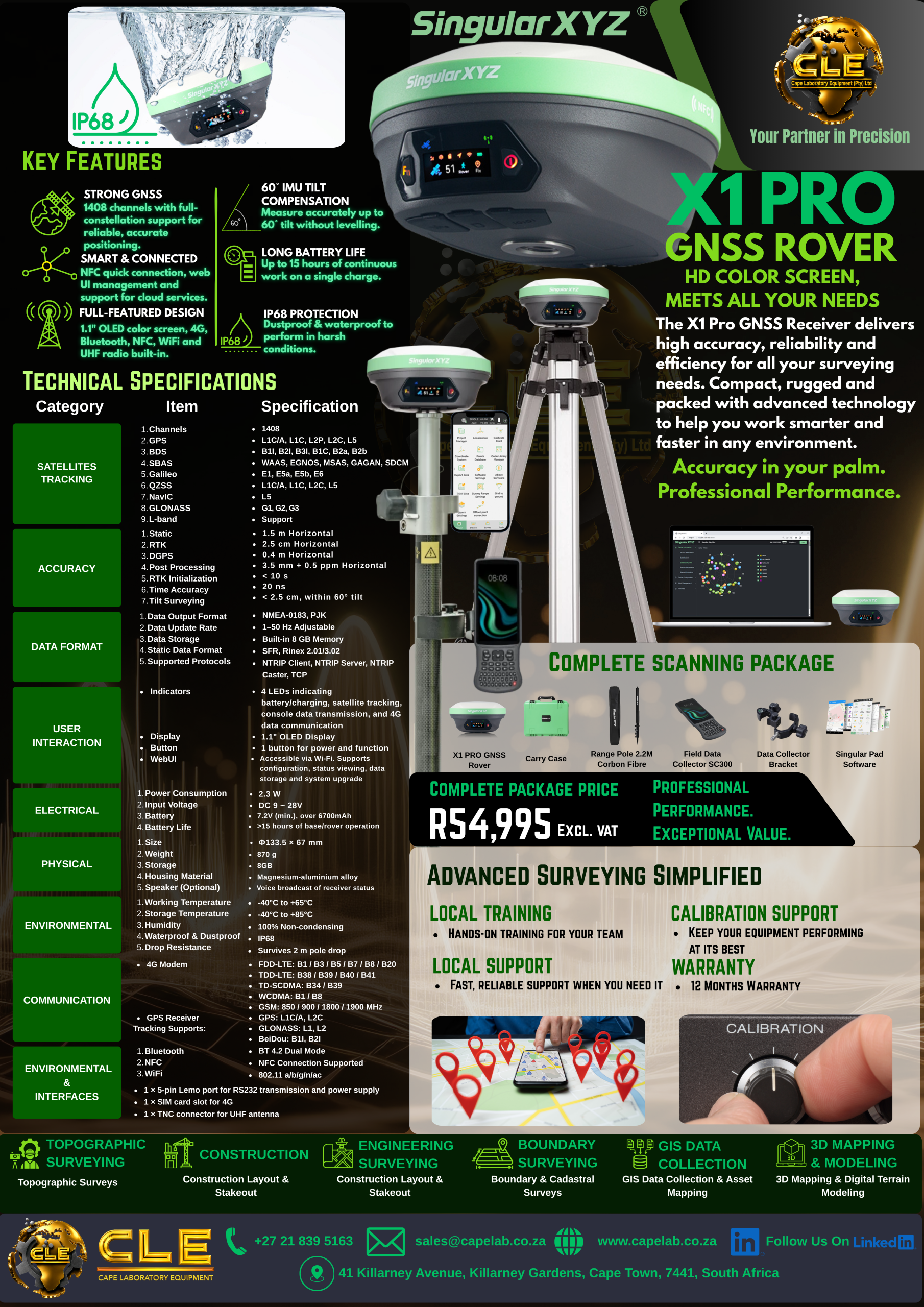
X1 Pro GNSS Rover
High-precision multi-constellation RTK GNSS rover engineered for demanding surveying, engineering, and construction workflows.

X1 Lite GNSS Rover
Lightweight, portable RTK GNSS receiver delivering fast fix times and centimetre-level accuracy in the field.

ORION GNSS Rover
Next-generation GNSS RTK receiver with AR visual stakeout and laser capabilities for rapid, non-contact surveying.
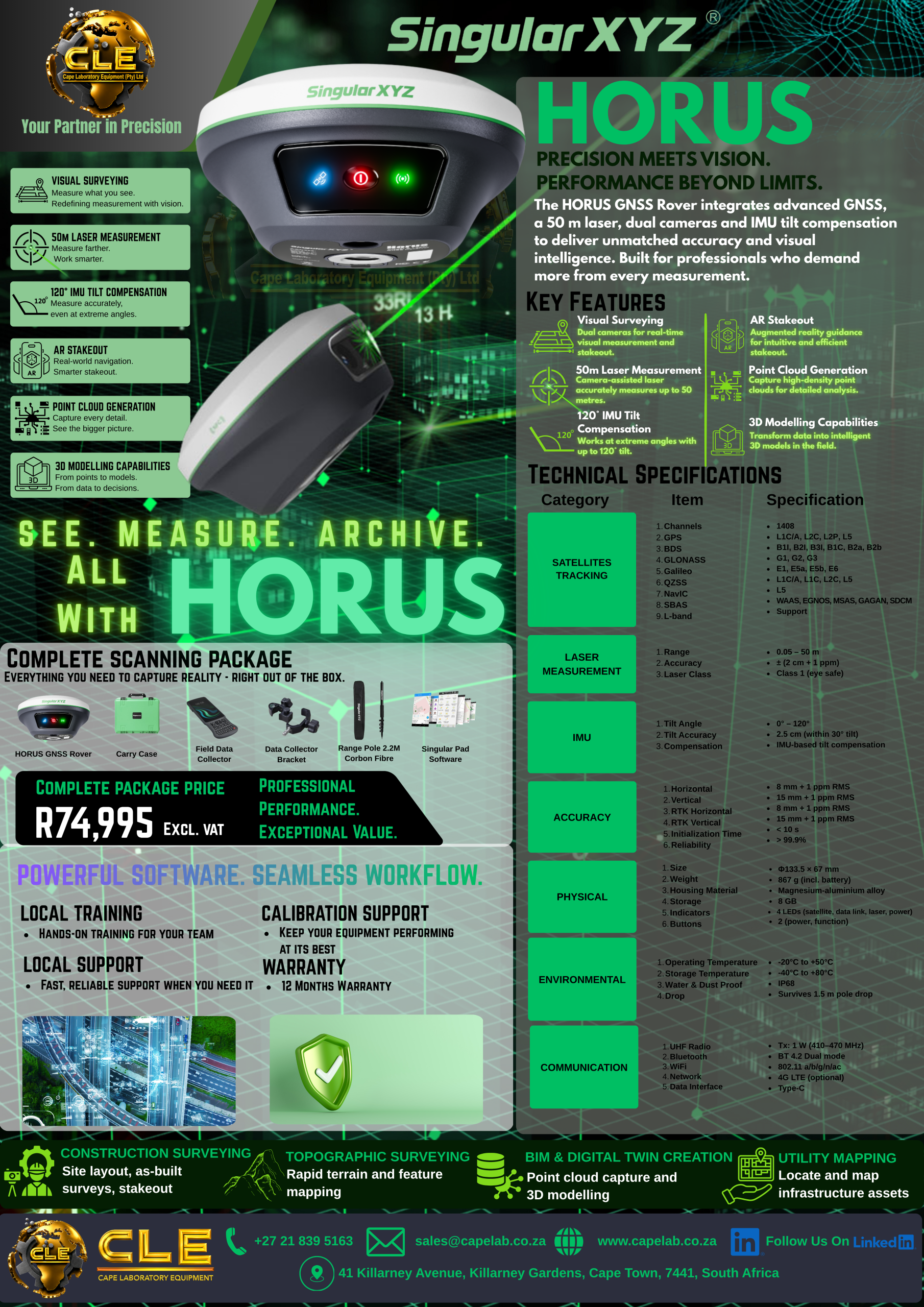
HORUS GNSS Rover
Visual & laser GNSS receiver combining high-precision RTK positioning with camera-assisted measurement and stakeout.
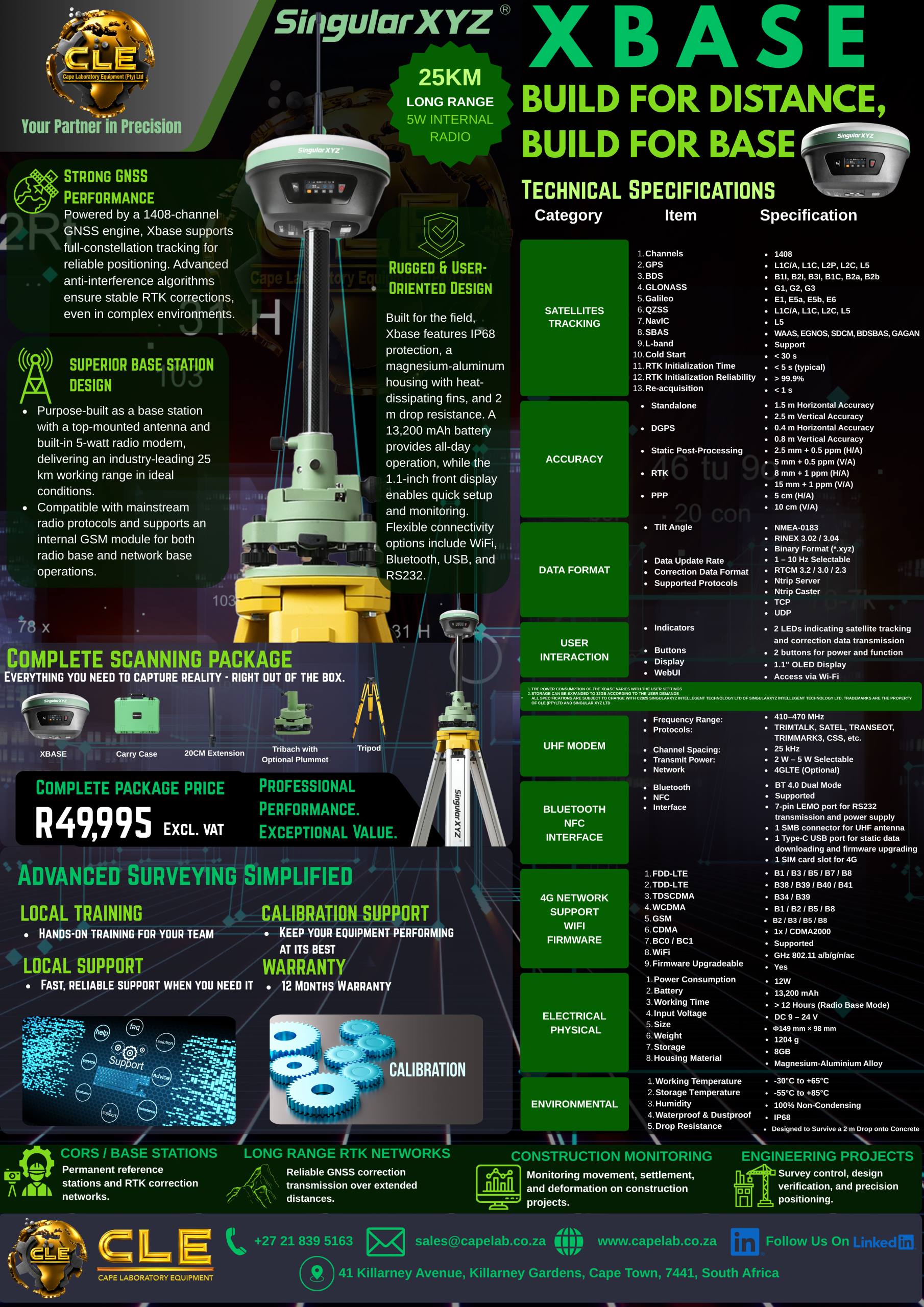
XBASE GNSS Base Station
Rugged high-power GNSS RTK base station built for long-range radio transmission, static logging, and CORS/reference networks.
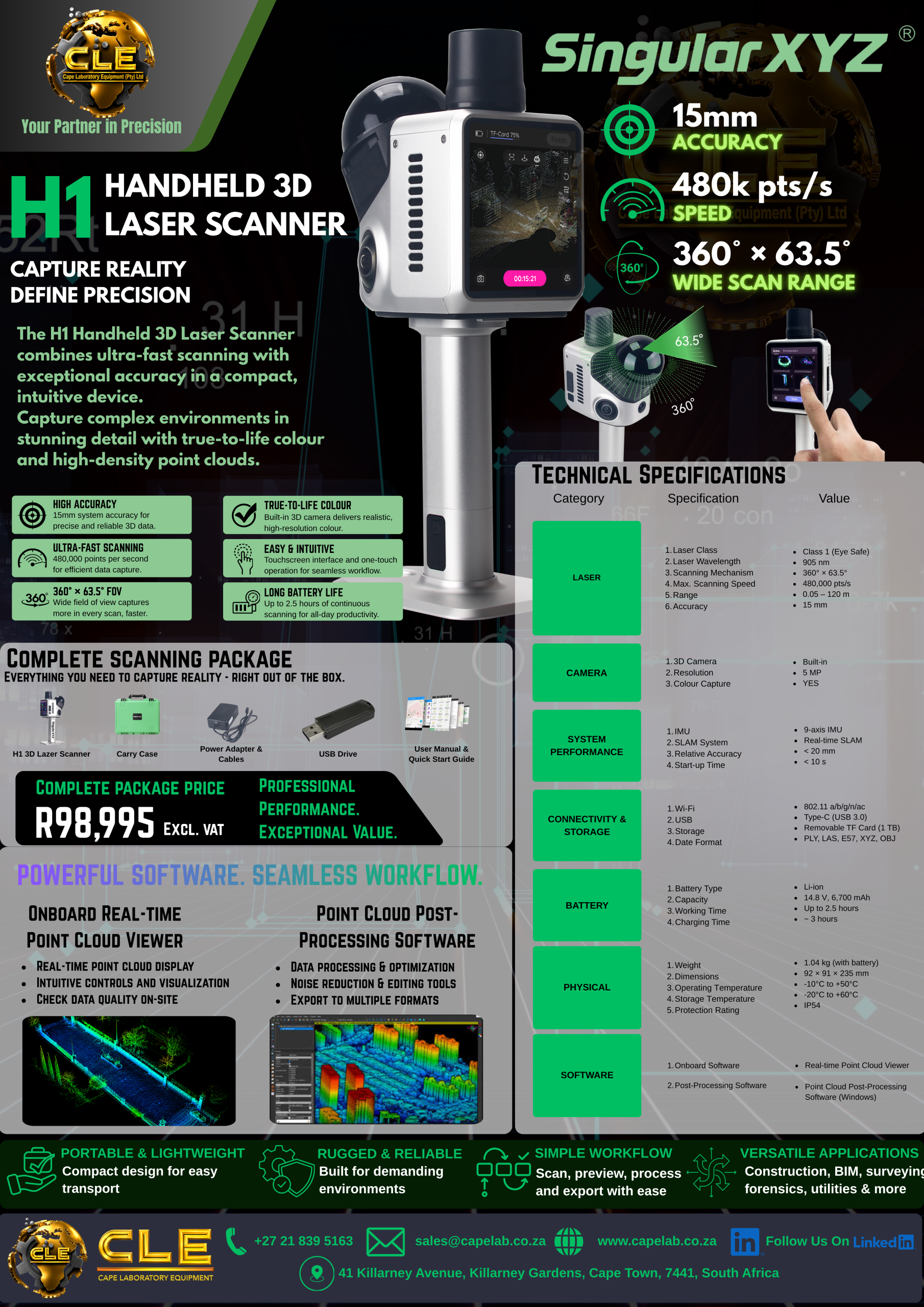
H1 Handheld 3D Laser Scanner
Portable SLAM LiDAR 3D laser scanner for rapid indoor/outdoor point-cloud capture, volumetric surveys, and BIM/as-built mapping.
GEOTECHNICAL MONITORING & MACHINE CONTROL
MR5000 Slope Monitoring & SP100 GNSS Piling

MR5000 Slope Stability Monitoring System
360° real-time GNSS & geotechnical deformation monitoring system for open-pit mines, slopes, dams, and critical infrastructure.

SP100 GNSS Piling System
High-precision dual-antenna GNSS machine control & guidance system for piling rigs, drilling, and foundation construction.
CONTROLLERS · OPTICAL · SOFTWARE
Data Collectors, Total Stations & Surveying Software
SC260 Data Collector
Rugged Android field controller with physical keypad and bright sunlight-readable display.
T8 Pro GNSS Tablet
High-precision 8-inch rugged GNSS tablet for GIS, mapping, and field surveying.
STSA9 Total Station
Android-powered optical total station with onboard surveying software and reflectorless EDM.
SingularPad Field Software
Comprehensive Android field surveying software for RTK stakeout, COGO, CAD import, and roading.
SingularSurv Field Software
Intuitive field surveying and GIS data collection software for SingularXYZ receivers.
PProcessing Post-Processing Software
Desktop GNSS post-processing software for static baselines, PPK, and network adjustments.
Book a SingularXYZ Demo or Request a Quote
Tel: (021) 839-5163 · Email: sales@capelab.co.za

Recent Comments